Under the
canopy.
Three autonomous drones built to navigate dense forest without GPS, mapping terrain and detecting thermal anomalies with precision.
Penetra Nemus
The Penetra Nemus architecture defines a complete, validated blueprint for autonomous aerial operations in GPS-denied forest environments. Every sensor dependency—including the 0.03 °C NETD thermal payload—has been specified and cross-checked against mission requirements before any development spend.
Hardware components are deliberately commoditized. The durable moat is the software intelligence layer: visual-inertial odometry algorithms engineered to eliminate drift under dense canopy, and on-device edge AI that identifies thermal anomalies locally with zero cloud dependency.
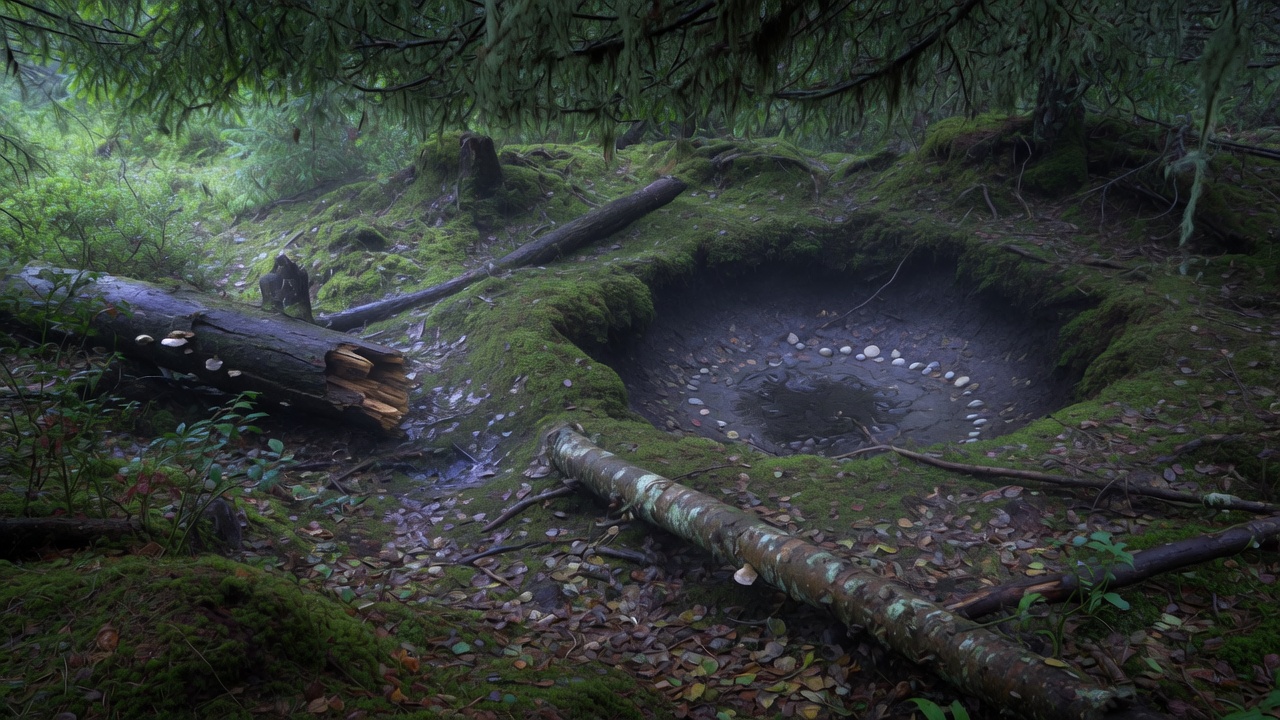
Three platforms.
One software architecture.
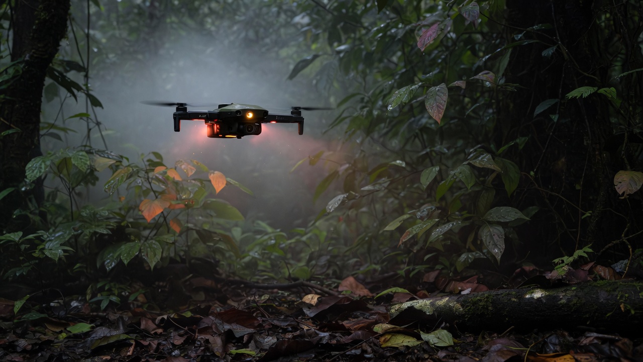
Canopy-native.
Lightweight platform optimized for extended loiter time. Equipped with forward-facing LiDAR and stereo vision for real-time canopy navigation at 3–12 m altitude.
Dedicated infrared payload with 640×512 microbolometer. Detects heat signatures through dense foliage with 0.03 °C NETD. Local edge-AI flags anomalies with zero cloud dependency.
High-resolution visual + multispectral imager. Proprietary VIO algorithms deliver drift-free 3D terrain and vegetation mapping in complete GPS denial.
Get in touch.
For operational inquiries, technical specifications, or partnership discussions, reach us directly.